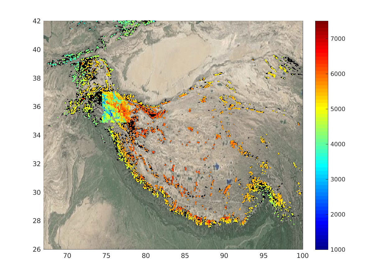
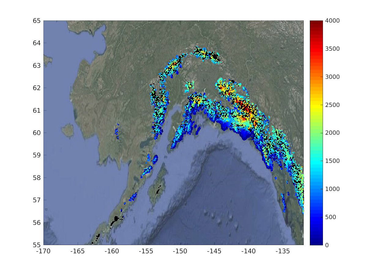
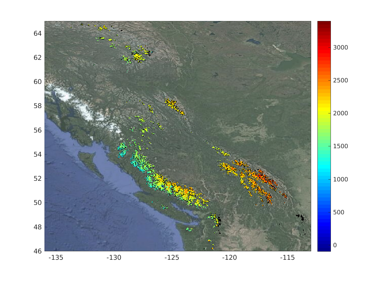
CS+Mountain Glaciers project has produced elevation data over High Mountain Asia with unprecedent coverage.
]]>
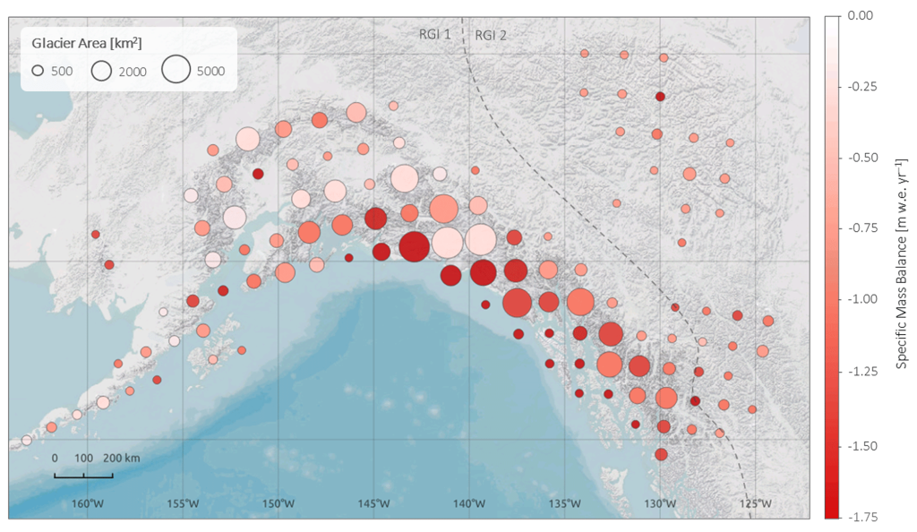
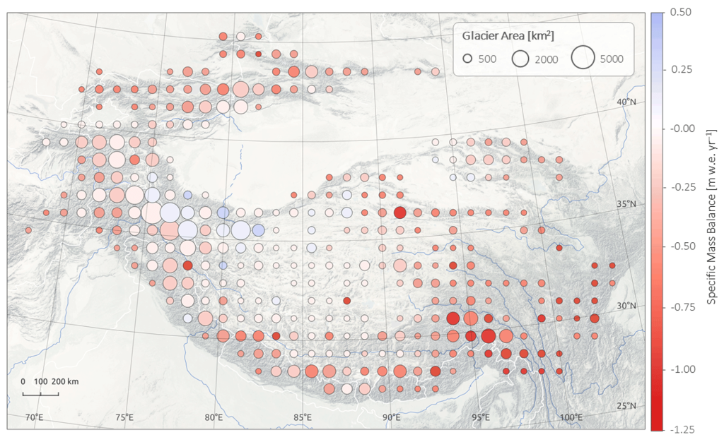
The CryoSat+ Mountain Glaciers project has demonstrated the benefit of using CryoSat-2 swath processing for retrieving elevation and rates of surface elevation change over ice caps and glaciers. The purpose of this project extension is to expand on the work and to explore a different approach to calculating rates of surface elevation change from swath elevation produced during the CryoSat+ Mountain Glaciers project. This is motivated by the fact that there is a insufficient number of repeat observation over regions such as the High Mountain Asia (HMA) and Pacific Coast Range (PCR) to allow for conventional repeat.
Between April 2011 and March 2017, the Ice Fields lost mass at a combined rate of 21.29 ± 1.98 Gt a−1 (equivalent to 0.059 ± 0.005 mm a−1 eustatic sea level rise), an increase of 24% and 42% when compared to the periods 2000–2012/14 and 1975–2000, respectively.
]]>]]>
http://blogs.egu.eu/divisions/cr/2017/02/17/image-of-the-week-icelandic-glaciers-monitored-from-space/
]]>]]>
